2nd RM-GIR National Meeting at NEMO in Belize
Belmopan, Belize, July 9, 2019
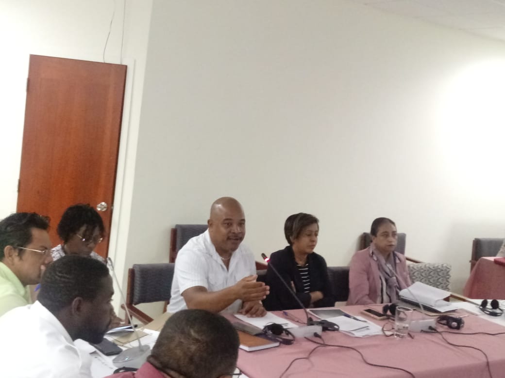
Following up on the implementation of the Mesoamerican Network for Disaster Risk Management (RM-GIR) platform in the region with funding from the InteramericanDevelopment Bank (IADB), a second national high level and technical meeting was held at the National Emergency Management Organization (NEMO) headquarters in Belmopan, Belize.
The purpose of the meeting was to engage different institutions and actors in a productive dialogue in order to coordinate the required workflow to collect and update geospatial data from Belize as well as to gather ideas and comments to strengthen the sustainability strategy and introduce the platform and its multiple uses to new actors that could become users. The implementation of RM-GIR is a technical cooperation executed by the Executive Directorate of the Mesoamerica Integration and Development Project (PM) that is funded by the Inter-American Development Bank (IADB).


The inauguration ceremony was presided by the Director of Cooperation of the Ministry of Foreign Affairs of Belize and Deputy Commissioner for Belize, Orla Coleman; Deputy Coordinator of Civil Protection at NEMO and RM-GIR Liason, Colin Gillett; the Development Cooperation Officer of the Embassy of Mexico accredited in Belize, Miriam Villanueva Ayón, and Mesoamerica Project Regional Manager for Social Development, Salvador Bautista.
Representatives of the following Belizean institutions participated in this 2nd National Meeting:
- Belize Port Authority (BPA)
- Belize Ministry of Education
- Belize Ministry of Public Service, Energy and Public Utilities
- Belize Ministry of Health
- Belize Ministry of Agriculture, Fisheries, Forestry, the Environment and Sustainable Development
- Belize Ministry of Housing & Urban Development
- Belize Water Services
- Belize Red Cross
- University of Belize

As a result of this 2nd National Meeting, Belize will be focusing in completing the agreed minimum amount of data layers that member countries have uploaded to the RM-GIR system. This initiative contributes to better decision-making within the country in terms of infrastructure planning and disaster risk management. Besides, an interministerial work will be carried out to coordinate the dissemination, use and operation of the RM-GIR platform at the national level, which is vital for the sustainability of the system. All Representatives agreed on the importance of the platform for preventing loss of lives, ecosystems and infrastructure as well as for decision-making and planning development in Belize.
What is the RM-GIR information system?
The RM-GIR platform is a web-based tool of advanced technology that makes geospatial information available to governments, universities and other actors to monitor disasters, threats and vulnerabilities in order to reduce the loss of valuable lives, ecosystems and infrastructure. The ample geospatial information that is now available displays data related to cartography, agrology, weather and geography, guaranteeing the officiality of the information both nationally and regionally.
The tool has been placed on a standardized, easily accessible web platform, which can be consulted for inputs, information analysis and decision making in each country, bringing benefits not only to government institutions responsible of civil protection and disaster management, but also to universities, municipalities and institutions working for for development and safety of lives, assets and productive activities.
The project for implementing the RM-GIR platform is funded by the IADB and has three components:
1. Strengthen the RM-GIR information system.
2. Prepare a Communication Strategy to promote awareness and promotion of the RM-GIR for different users.
3. Produce a Sustainability Strategy for the sustainable use of RM-GIR.